
MEXICO EXTREMO DURANGO (VIVAMEXICO MOD) V1.0 MAP
Mexico Extremo Durango (VivaMexico mod) v.1.0 for Ats 1.28.x game version
YOU NEED AS DEPENDENCY VIVA MEXICO V2.4 (DURANGO), located for free here:
Viva México Map 2.4 (DURANGO) [1.28.x]
Note from the Author(s):
Currently the map continues improving so there should be many known bugs present such ai missing,
some gaps or holes there, etc, next bug fixes will be available until next state release (Nayarit or Zacatecas)
by October or November this year. Probably next releases will be only paid versions for a small donation,
including new prefabs, 3dmodels, scenery, etc..
This one is free to let you guys know my work, which I believe is worth having.
The map of the areas I’ve modified:
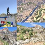
Durango-Huazamota
This is a rugged narrow road in the southern area of the state, built in 2013, this road
connects to Tepic, Nayarit. Currently this road faces problems of constant mudslides and potholes
in the area that can be dangerous for users. Hugo’s original road in VivaMexico was not
accurate since he didn’t have pictures or reference for this area,
personally I have traveled in this road twice in 2015 and have tons of pictures for reference.
Durango-Mazatlán
The main changes made in this area it’s mainly to the toll highway, which added some more tunnels,
curves and improved drastically the environment around the toll highway, not many changes
were made to the original free road, except for a junction and some more more sharp curves near Mazatlan.
Durango-Torreón (or Gómez Palacio)
Since I live near this area IRL, I frequent this highway very often, was easy to do just by remembering
certain areas without using any photos of reference, just impoved the visual around this highway,
flora, some few sharp curves and tons of beautiful desert landscapes, Hugo original roadits not accurate in this area, just fixed.
Had to redo both routes, the toll route and free (libre) route. Both with unique landscapes.
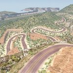
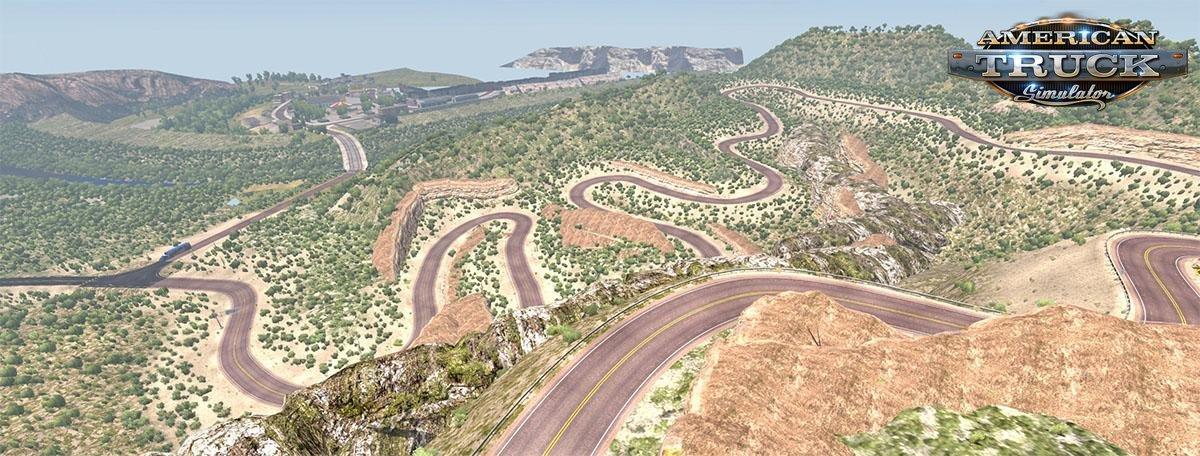
Sierra Madre roads (Santiago Papasquiaro-Canelas-Topia-Tamazula-Culiacán)
This is a extremely difficult road to traverse (best I did was with one semi with 23% damage),
so you must be caution everywhere if you travel by this dangerous road, watch for the narcos,
or worst the steep grades and dizzy curves. Suggestion if you happen to drive the narrows,
keep your truck at the extreme edge to traverse the sharp curve otherwise you’ll get stuck.
This drive it’s full of surprises and fun to traverse.
So this will be a new series of mods called “Mexico Extremo”, this is the Durango state edition,
next one will be for Chihuahua state. For a USA extreme edition, until SCS release Utah and Colorado,
I might do the engineer pass, bryce canyon, Zyon national park, also some fixed in Yoseemite (over the project west mod).





load on map? load on mod manager?
very good to add mod. except that the road before guanacevi is not the same as the photo that was taken. is missing part of the road on the map.
muito boa a adição de mod. só que a estrada antes de guanacevi não é a mesma da foto que foi tirada. está faltando parte da estrada no mapa.